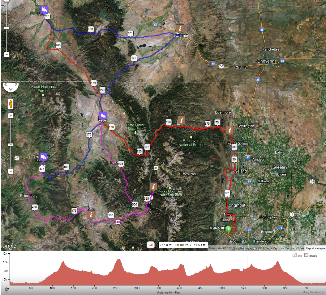
I've posted an updated route map using RideWithGPS. The link is on the CHC main page. The route hasn't changed; it's just that the maps that were posted hadn't been updated. I've also posted a picture of the satellite view of this map:


The satellite view makes it easy to see where you're crossing major passes.
On the RideWithGPS map, I have flagged controls as "i", except that overnight controls are shown as beds. RideWithGPS reports over 40,000 ft. of climbing. That's inflated. But their course elevation profile underneath the map is useful.
-jle
No comments:
Post a Comment
Note: Only a member of this blog may post a comment.